Living Near the Virgin River in Mesquite: Wildfire and Flood Risks Buyers Should Check
The May 2026 brush fire along the Virgin River was a reminder that riverfront Mesquite carries two risks. Here is why the riverbanks burn, how the river floods, and what buyers should check.
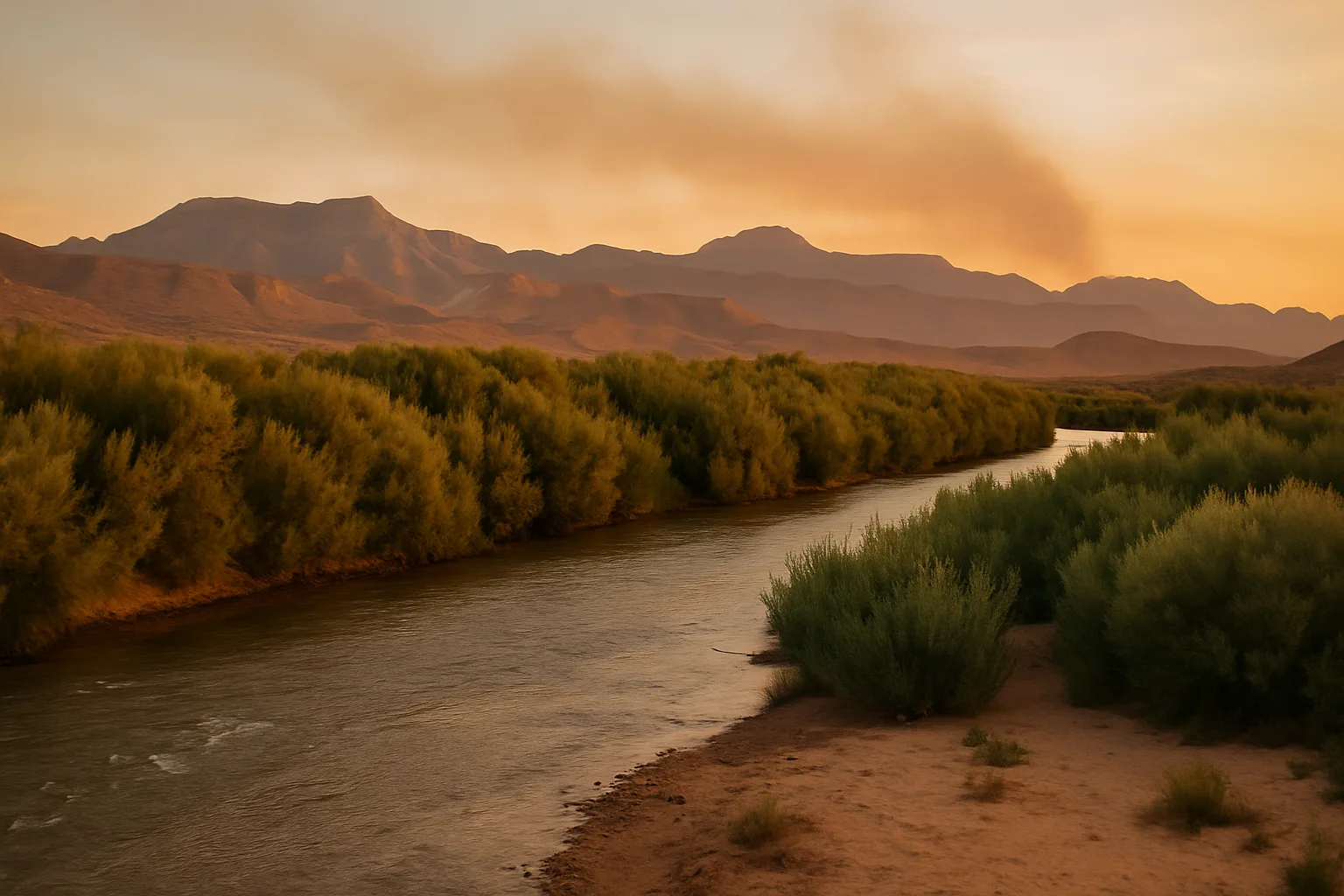
Before dawn on May 20, 2026, a brush fire broke out along the Virgin River in Mesquite and spread through the thick vegetation on the riverbanks. By the time it was contained, it had burned roughly 31 to 40 acres, according to news reports. Crews from Mesquite Fire & Rescue worked alongside federal wildland firefighters, Beaver Dam Fire, the Clark County Fire Department and others, and two single-engine air tankers flew in from Cedar City, Utah. As a precaution, students at Charles Arthur Hughes Middle School, near the river, were moved to Virgin Valley High School and dismissed. Officials said no homes were threatened, and the cause was still under investigation in the days that followed.
The fire was a reminder that the green ribbon of the Virgin River, one of the most attractive features of the Mesquite landscape, carries two hazards that buyers should understand: wildfire in the riverbank vegetation, and flooding from the river itself.
Why the Riverbanks Burn
Much of the vegetation along the Virgin River near Mesquite and Bunkerville is tamarisk, also called saltcedar, an invasive shrub that grows in dense thickets and burns hot. Federal land managers have described the stands near town as highly flammable and thick enough to pose a significant fire danger close to homes. Before tamarisk spread through the floodplain, native cottonwood and willow dominated the riverbanks, and fires there were less common.
The Bureau of Land Management has worked for years to reduce that fuel. Its Mesquite Fuels Project, which began in 2003, set out to clear tamarisk along the river and restore native trees, and later projects have used heavy equipment to grind dense stands into mulch and treat the regrowth. Research on the Virgin River by the U.S. Geological Survey found that removing tamarisk reduced the vegetation that feeds fires. The work is ongoing, and tamarisk regrows, so the riverbank remains a fire risk, especially in hot, dry, windy weather.
The River Also Floods
The same river that carries fire risk in summer can flood after heavy rain or snowmelt upstream. The Virgin River flooded parts of northeast Mesquite in January 2005 and again in 2010, damaging homes near the riverbank. The city maintains a flood control program, and the City of Mesquite will confirm a property's FEMA flood zone and base flood elevation on request.
Desert flash floods are a separate concern. Washes that are dry most of the year can carry fast, heavy water during summer storms, and homes near washes or at the bottom of slopes can see runoff even if they're nowhere near the river.
What Buyers Near the River Should Check
- The flood zone. Ask the City of Mesquite for the property's FEMA flood zone and base flood elevation, and check whether the home has ever had flood damage. Homes in high-risk zones with a federally backed mortgage require flood insurance.
- Flood insurance, even if it isn't required. Standard homeowners policies don't cover flood. Policies outside high-risk zones are often inexpensive, and they're worth pricing for any home near the river or a wash.
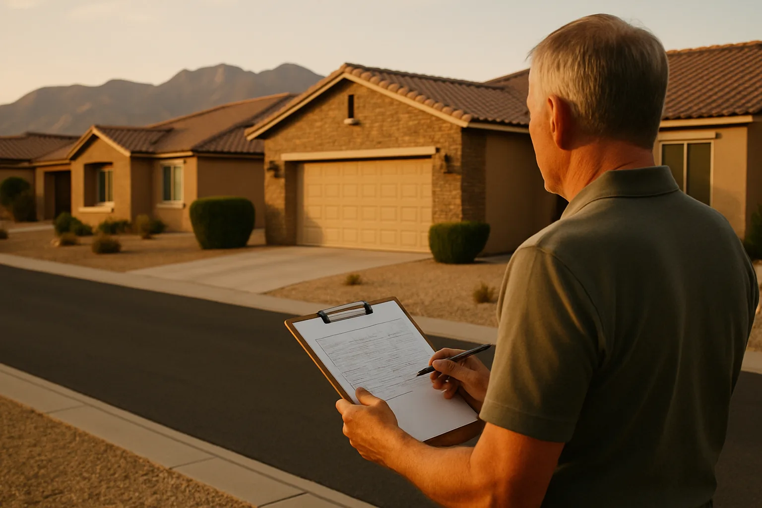
- Vegetation on and around the lot. Note how close dense brush, tamarisk or dry vegetation comes to the house, fences and outbuildings.
- Fire-resistant construction. Tile roofs, stucco walls and enclosed eaves, common in Mesquite, resist embers better than wood. Check for wood fences or decks that connect brush to the house.
- Insurance quotes. Get a quote on the specific address during the inspection period, and ask whether wildfire risk affects the premium or the coverage.
- Drainage. Look at how water moves across the lot during a storm, and whether the grading carries water away from the foundation.
Reducing Wildfire Risk at Home
Homeowners near the river or open desert can lower their risk with a few steps that fire officials across the West recommend:
- Create defensible space. Keep the area closest to the house, especially the first five feet, free of dry plants, mulch, firewood and other things that burn.
- Choose low-fuel landscaping. Gravel, rock and well-spaced desert plants burn far less readily than dense shrubs or dry grass.
- Clean roofs and gutters. Leaves and debris catch embers.
- Mind outdoor burning. Fires along the Virgin River corridor have often been human-caused, including escaped debris burning. Follow local burn rules, and take care with equipment that sparks during hot, dry weather.
- Have a plan. Know two ways out of the neighborhood, and keep important documents and medications ready to go during fire season.
A Seasonal Risk Calendar
- Late spring through summer: the hottest, driest months bring the highest fire danger. The May 2026 fire came early in the season, before peak summer heat.
- July through September: the Southwest's monsoon season can bring sudden, intense thunderstorms. They can cause flash flooding in washes, and their lightning and gusty winds can also spread fire.
- Winter and early spring: storms and snowmelt in the Virgin River's upstream watershed can raise the river itself, which is when the major floods of 2005 and 2010 occurred.
Knowing the calendar helps with timing: clear brush before summer, check drainage before monsoon season, and keep an eye on river levels after big winter storms.
Questions to Ask the Seller and the Inspector
- Has the property ever flooded, had water in the garage or yard, or filed an insurance claim for water damage?
- Has a wildfire or brush fire ever come close to the property, and did the HOA or city clear vegetation afterward?
- Who maintains the brush and open space behind the lot, the owner, the HOA or a public agency?
- Does the lot drain away from the house in every direction, and are there signs of erosion or standing water?
- Are the roof, vents and eaves in good condition, and are there gaps where embers could get in?
Perspective for Buyers
Many Mesquite neighborhoods sit well away from the river, and the May fire stayed in the brush along the riverbank. For homes in neighborhoods near the river, the views, greenery and quiet are real advantages, and the risks are manageable with good information, the right insurance and sensible landscaping. The key is to know the flood zone and the fire setting before buying, not after.
For a recent example of how quickly the river can rise, see the report on Tropical Storm Rachel's remnants in October 2026.
The guide to homeowners insurance in Nevada covers flood and earthquake coverage in more detail, and the article on where Mesquite's water comes from explains another way the Virgin River Valley differs from Las Vegas. Current listings are on the Mesquite homes for sale page, and Homes For Sale In Mesquite Nevada can help check a specific property's setting.
Frequently asked questions
Was there a wildfire in Mesquite, Nevada in 2026?
Yes. On May 20, 2026, a brush fire burned roughly 31 to 40 acres of vegetation along the Virgin River in Mesquite. Students at Charles Arthur Hughes Middle School were moved to Virgin Valley High School as a precaution, and officials said no homes were threatened.
Why do fires start along the Virgin River?
Much of the riverbank is covered in tamarisk, also called saltcedar, an invasive shrub that grows in dense, highly flammable thickets. Past fires in the corridor have often been human-caused, including escaped debris burning. The Bureau of Land Management has worked for years to remove tamarisk near Mesquite.
Does the Virgin River flood in Mesquite?
It can. The Virgin River flooded parts of northeast Mesquite in January 2005 and again in 2010. The City of Mesquite will confirm a property's FEMA flood zone and base flood elevation on request.
Do I need flood insurance in Mesquite?
It is required for homes in FEMA high-risk flood zones that have a federally backed mortgage. Standard homeowners policies don't cover flood, so buyers near the river or a desert wash should price a flood policy even when it isn't required.
How can I protect a Mesquite home from wildfire?
Keep the area closest to the house, especially the first five feet, free of dry plants, mulch and firewood; use gravel and well-spaced desert plants; clean roofs and gutters; and follow local burn rules during hot, dry, windy weather.
What should I check when buying a home near the Virgin River?
Check the FEMA flood zone and any flood history, price flood insurance, look at how close dense brush comes to the house, note the roof and siding materials, review drainage on the lot, and get an insurance quote on the specific address.
Homes for sale in Mesquite, Nevada
Thinking about a move to Mesquite?
Browse every active listing — Sun City 55+, golf-course homes, new construction and more — updated multiple times a day. Or talk to a local agent who knows the neighborhoods.
Keep reading
More from the blog
Why Homeowners Insurance Keeps Rising, and How Nevada Compares in 2026
Why Fewer Retirees Are Downsizing, and When It Still Makes Financial Sense
How to Compare HOA Fees in 55+ Communities, and the Costs the Monthly Number Leaves Out